ROTAS DE SETÚBAL
Portinho da Arrábida
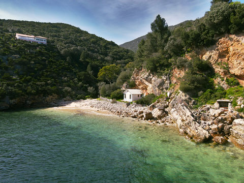
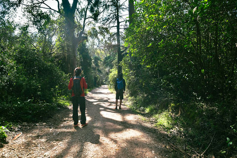
Este percurso, ideal para uma curta caminhada junto do mar, é excelente para iniciantes. Liga o Creiro ao Portinho da Arrábida e a Alpertuche, num trajeto que, embora curto, nos transporta ao longo das várias ocupações humanas da Arrábida.
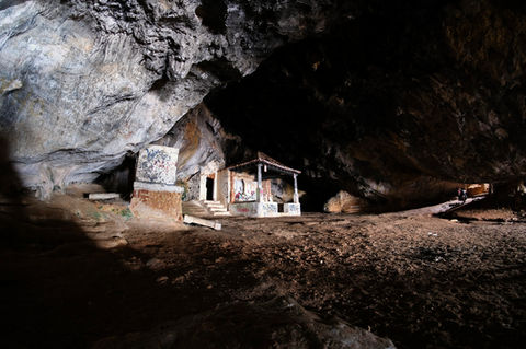
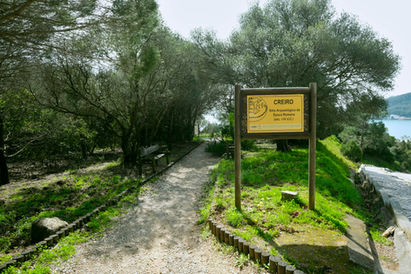
A Estação Arqueológica do Creiro testemunha a presença de um dos mais antigos complexos industriais de produção de produtos piscícolas da zona de Setúbal, fazendo parte da Cetóbriga romana, juntamente com outras unidades fabris. A Lapa de Santa Margarida é uma reentrância rochosa que tem a particularidade de ser facilmente visitável (após 250 degraus) e de conter no seu interior uma capela erguida no século XVII, a que antigamente acorriam diversos círios.
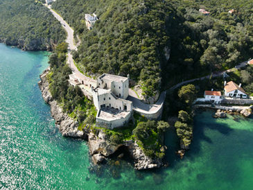
O Forte de Santa Maria (séc. XVII), onde se encontra instalado o Museu Oceanográfico, acolhe um enorme espólio de biodiversidade proveniente do Parque Marinho Luiz Saldanha, cedido pelo naturalista Luiz Gonzaga do Nascimento. Foi adaptado, no início do seculo XX, às funções de pousada pelos pais do poeta azeitonense Sebastião da Gama, conhecido pela forte ligação à proteção da natureza, em particular da Arrábida.
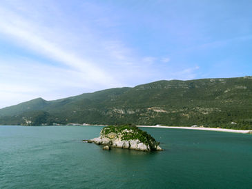
Em termos naturais, destaca-se a presença da Pedra da Anicha, formação rochosa existente a curta distância da costa, defronte da Praia do Creiro, que alberga uma densa biodiversidade, e as alfarrobeiras que nos acompanham ao longo do caminho de subida até final do percurso.
Termina com a possibilidade de ida a Alpertuche (ramal opcional), uma praia naturalizada e de águas límpidas.
INÍCIO
(38°28’55.40”N; 8°58’36.08”W)
Inicia no parque de estacionamento do Creiro, junto da Estação Arqueológica.
Fim
(38°28’12.81”N; 8°59’30.59”W)
Termina na EN379-1, no acesso para Alpertuche.
ABASTECIMENTO
Tem abastecimento disponível ao longo do percurso, no Creiro e no Portinho da Arrábida.
Ficha Técnica
Tipo de Percurso | Linear
Época aconselhada | setembro a junho
Sentido Recomendado | Estação Arqueológica do Creiro – gAlpertuche
Extensão | 2,4 Kms
Duração Aproximada | 0h40
Desnível Acumulado | 208m (119+/89-)
Altitude min/máx | 2m/64m
grau de dificuldade
1
1
1
1
grau de dificuldade


PONTOS DE INTERESSE
-
Praia do Creiro
-
Portinho da Arrábida
-
Forte de Santa Maria/Museu Oceanográfico
-
Lapa e Capela de Santa Margarida
-
Alpertuche
CARTA MILITAR DE PORTUGAL
Folha 465 | 1/25000, IGeoE


